Delivering comprehensive geological exploration, mapping, and mineral evaluation for one of Madagascar's promising graphite prospects, supporting the development of critical raw materials for next-generation battery technologies.
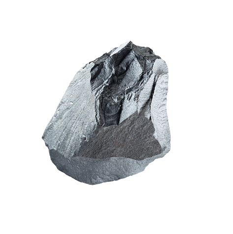
The Graphite Exploration Project is located near Ambohijanaka Village in the Andramasina Region of Madagascar, approximately 100 km southeast of Antananarivo, the country's capital. Situated within one of the world's most mineral-rich regions, the project focuses on evaluating high-grade graphitic schist formations and advancing graphite resources through systematic geological investigations and exploration programs.
Madagascar has long been recognized as a global source of high-quality natural graphite, making this project strategically important for supplying raw materials to the rapidly growing lithium-ion battery and advanced materials industries.
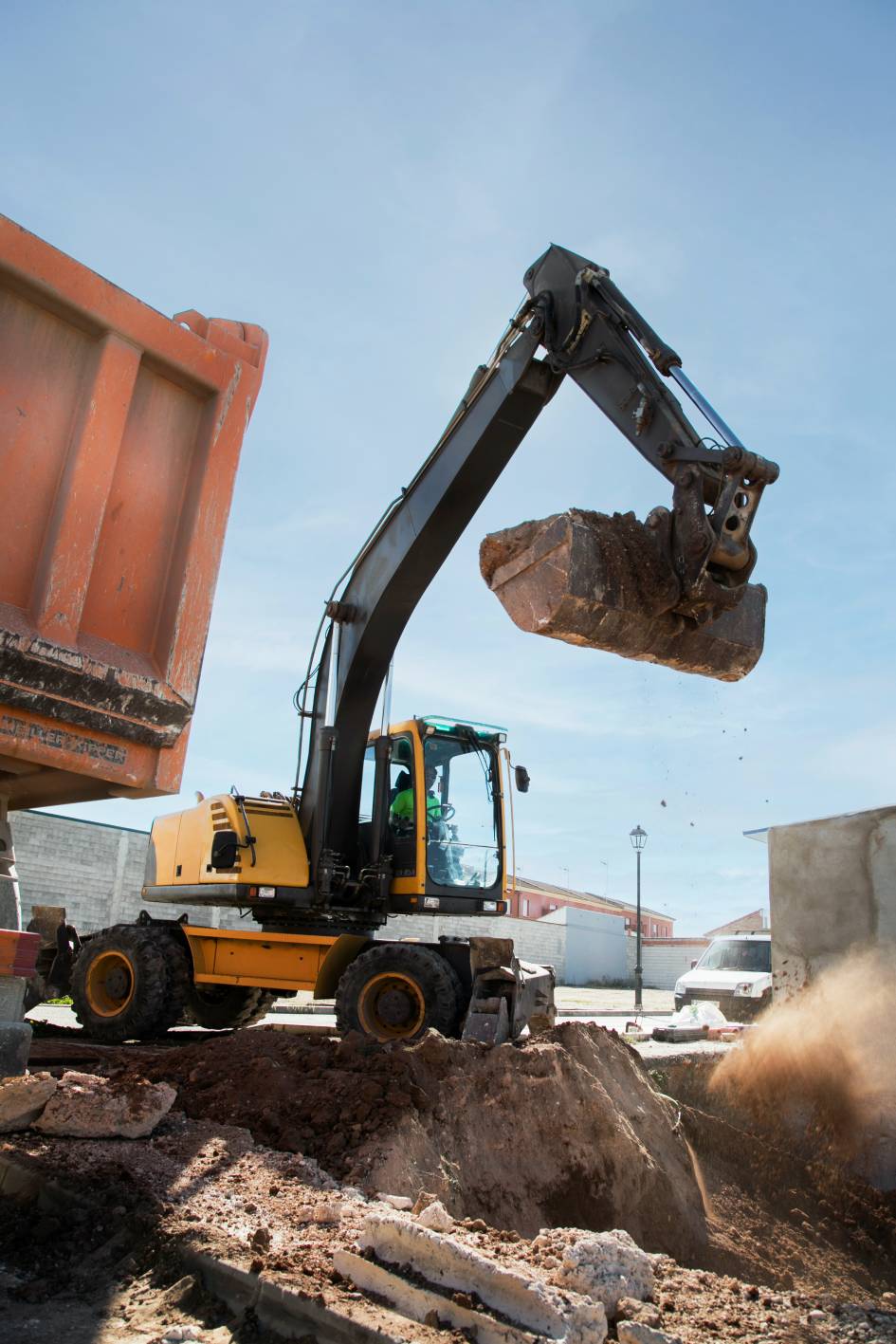
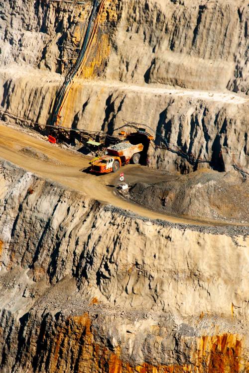

Madagascar, the fourth-largest island in the world, is internationally recognized for its abundant mineral resources and diverse geological formations. The country's mining industry encompasses both artisanal and large-scale operations, producing industrial minerals, metallic minerals, precious stones, and ornamental stones.
Its favourable geology and increasing global demand for battery minerals position Madagascar as a key destination for graphite exploration and development.
Ambohijanaka
Andramasina
Madagascar
Approximately 100 km southeast of Antananarivo
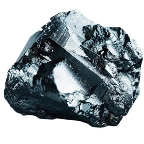
Natural Graphite
The exploration area forms part of the Ambatolampy Group (Proterozoic Age) and the Vondrozo Group (Archaean Age), comprising complex metamorphic formations that host significant graphite mineralization.
These formations have been intruded by younger granitic bodies belonging to the Manjakandriana Suite, contributing to the geological complexity and mineral potential of the area.
A detailed geological mapping program was conducted during July–August 2017 by experienced geologists using GPS and Brunton Compass across traverse lines spaced at 100-metre intervals.
These investigations established the geological framework for future exploration and resource evaluation.
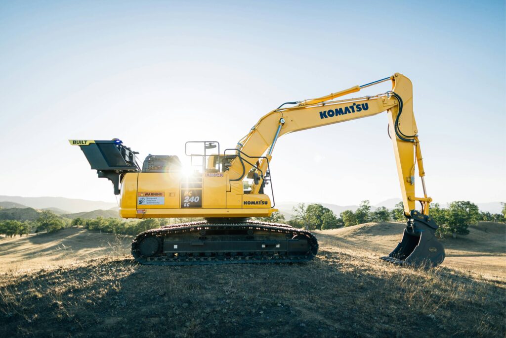
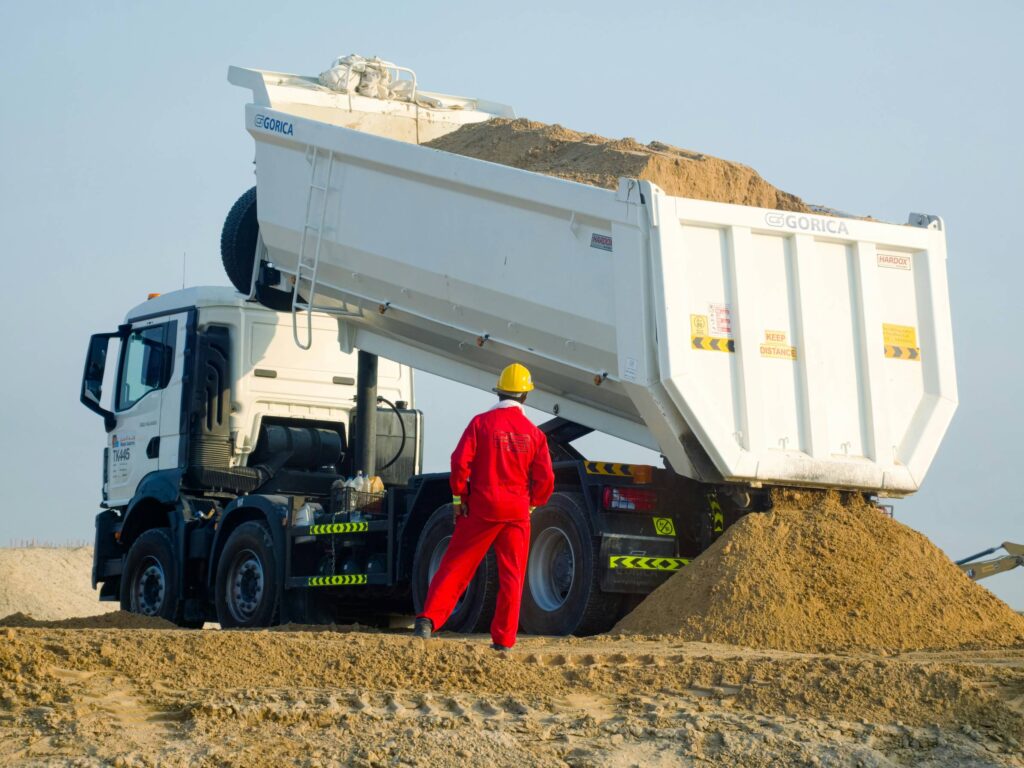
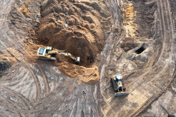
Stratmin operates large-scale bulk extraction and high-capacity logistics systems, supporting efficient and reliable graphite operations on-site.
Systematic multi-level mining enables continuous, high-volume graphite extraction with integrated haulage and transfer infrastructure.
Electric rope shovels efficiently load blasted graphite ore into heavy-duty haul trucks for continuous processing feed.
Heavy shovels and haul fleets maintain efficient ore movement between lower benches, stockpiles, and processing areas.
Wheel loaders perform selective ore loading and bench clean-up, complementing primary shovels across active pit faces.
Hydraulic excavators handle wall scaling, overburden removal, and bench preparation to maintain safe pit geometry.
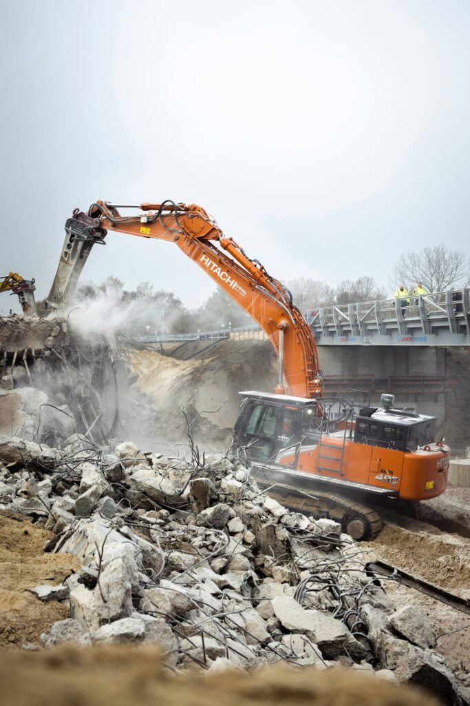
High-reach excavators load ROM graphite ore from elevated benches into haul trucks for steady stockpile and crusher feed.
The Sinbad Permit comprises three exploration blocks containing a total of ten graphitic bands:
Fine- to coarse-grained graphite flakes are distributed throughout graphitic schist and gneiss formations, while lamellar graphite is closely associated with pegmatite intrusions.
Long acicular graphite crystals measuring up to 15 mm were also identified within selected mineralized zones, indicating favourable graphite quality.
The exploration program delivered several significant findings:
Detailed geological investigations revealed seven parallel graphitic schist bands, allowing preliminary indicative resource estimation based on mapped continuity and projected depth persistence of 50–75 metres.
These findings indicate significant potential for future resource expansion through drilling and advanced exploration.

The next phase of the project is focused on advancing Block 1 through targeted exploration programs designed to improve geological confidence and resource definition.
The combination of drilling and geophysical surveys will provide valuable insights into the thickness, continuity, and depth persistence of graphite-bearing formations.
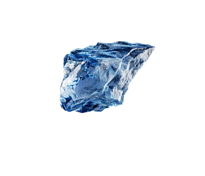

Natural graphite is a critical raw material for lithium-ion batteries, electric vehicles, energy storage systems, and advanced industrial applications. This project demonstrates Stratmin's expertise in identifying, evaluating, and advancing graphite resources through scientific exploration methods, geological interpretation, and strategic resource development.
At Stratmin, we combine geological knowledge, modern exploration techniques, and data-driven decision-making to support the discovery and development of critical minerals. From geological mapping and structural analysis to resource evaluation and exploration planning, our team helps transform mineral prospects into viable development opportunities.

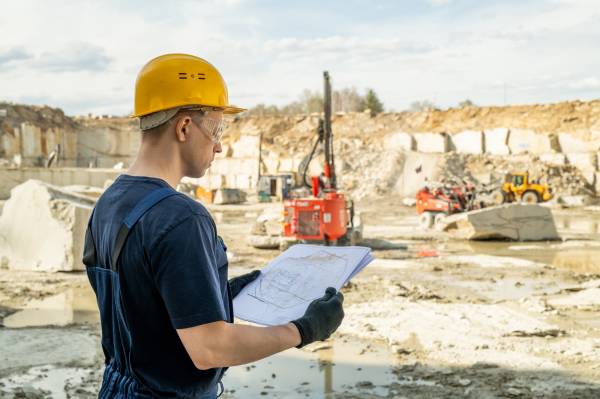

Unlock greater efficiency, responsible resource management, and exceptional project outcomes with our comprehensive mining expertise.